urban_streets: Urban street networks (2017)
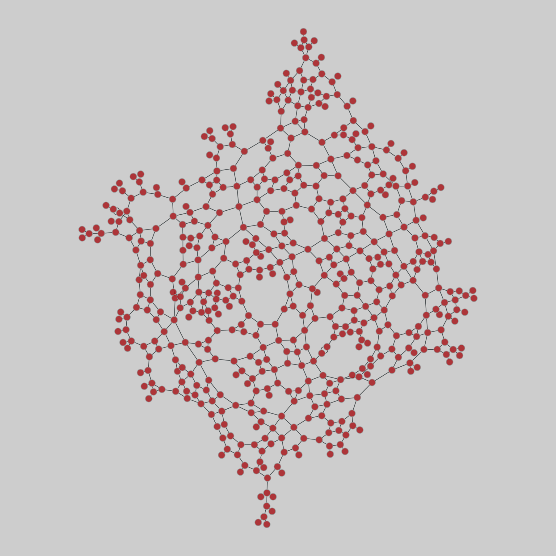
20 urban street networks, corresponding to 1-square-mile maps of 20 cities around the world.
This network has 541 nodes and 773 edges.
Tags: Transportation, Roads, Unweighted, Metadata
https://networks.skewed.de/net/urban_str…
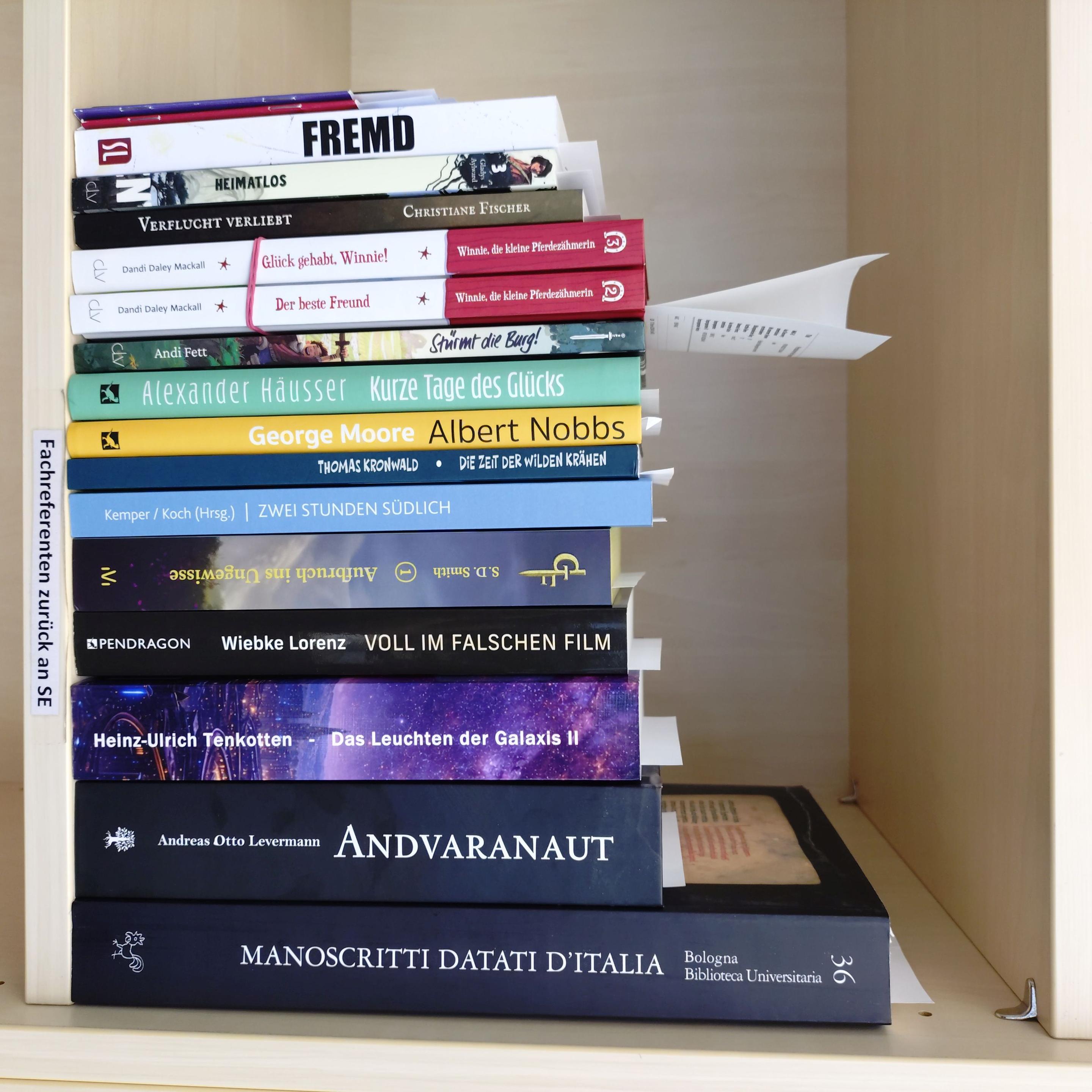
in der #verschlagwortung diese woche: "I manoscritti datati della Biblioteca universitaria di Bologna" (https://katalogplus.uni-muenster.de/pe
Försöker planera en resa med familjen i formen av Stockholm-Berlin-Bologna (där min fru ska arbeta en kort period)-Paris-Stockholm och får bra hjälp från @… hemsida!!! Tack!
🇺🇦 #NowPlaying on KEXP's #Roadhouse
Oscar Meyer TV Commercial:
🎵 "My bologna has a first name"
#OscarMeyerTVCommercial
DefoEye: Python-Based Software for Facilitating Time-Series InSAR Analysis of Sentinel-1 Remote-Sensing Data
Alireza Taheri Dehkordi, Hossein Hashemi, Amir Naghibi
https://arxiv.org/abs/2608.04915 https://arxiv.org/pdf/2608.04915 https://arxiv.org/html/2608.04915
arXiv:2608.04915v1 Announce Type: new
Abstract: Many existing time-series Interferometric Synthetic Aperture Radar (TS-InSAR) software tools have limitations, including restricted geographic applicability, commercial licensing, and incomplete end-to-end processing support. Although GMTSAR avoids some of these constraints, it still requires substantial manual intervention and C-shell commands, lacks a user-friendly graphical interface, and omits important steps such as interferogram network pruning and anchoring of unwrapped interferograms. This paper introduces DefoEye (v1), an open-source Python-based software package that wraps GMTSAR and provides a unified, user-friendly TS-InSAR workflow for Sentinel-1 data. DefoEye supports parallel job execution, interferogram network pruning, and multiple anchoring options. Its performance was evaluated from 2020 to 2024 in four regions with different geological settings, deformation mechanisms, and atmospheric and climatic conditions. In Bologna, Italy; Gotland, Sweden; and Houston, USA, DefoEye results were compared with observations from 10 GNSS stations and showed strong agreement, with RMSE values of 4.3-11.9 mm and Pearson correlation coefficients of 0.63-0.95. In Karaj, Iran, where GNSS observations were unavailable, DefoEye was compared with other widely used processing tools and achieved similarly close agreement, with an RMSE of 4.8 mm/yr and a Pearson correlation coefficient of 0.98. These results demonstrate that DefoEye provides reliable TS-InSAR products for geological, hydrological, and environmental applications.
toXiv_bot_toot
🇺🇦 #NowPlaying on BBCRadio3's #EssentialClassics
Luigi Denza, Giuseppe Turco, Giancarlo Chiaramello, Luciano Pavarotti, Coro del Teatro Comunale di Bologna, Orchestra del Teatro Comunale di Bologna & Anton Guadagno:
🎵 Finiculi, Finiculš
#LuigiDenza #GiuseppeTurco
🇺🇦 #NowPlaying on BBCRadio3's #KeyChanges:Radio3sEssentialHistoryOfClassicalMusic
Gioachino Rossini, Bologna Municipal Theatre Orchestra & Michele Mariotti:
🎵 William Tell Overture
#GioachinoRossini #MicheleMariotti
https://open.spotify.com/track/4GUNJM64njX93UeovaTnDa
Research Paper: »Off-Platform #Tracking and Data Externalities: Evidence from #Facebook«
> Digital platforms increasingly observe individuals' browsing behavior beyond the boundaries of their own services.
Luis Aguiar, University of Zurich
Christian Peukert, University of Lausanne
Max Schäfer, University of Bologna
Hannes Ullrich, #DIW Berlin
June 05, 2026:
👉 #SocialMedia #Meta #DataProtection #GDPR #Datenschutz #TeamDatenschutz #privacy
 @AimeeMaroux@mastodon.social