No exact results. Similar results found.
 @carloshr@lile.cl
2026-01-08 20:15:50
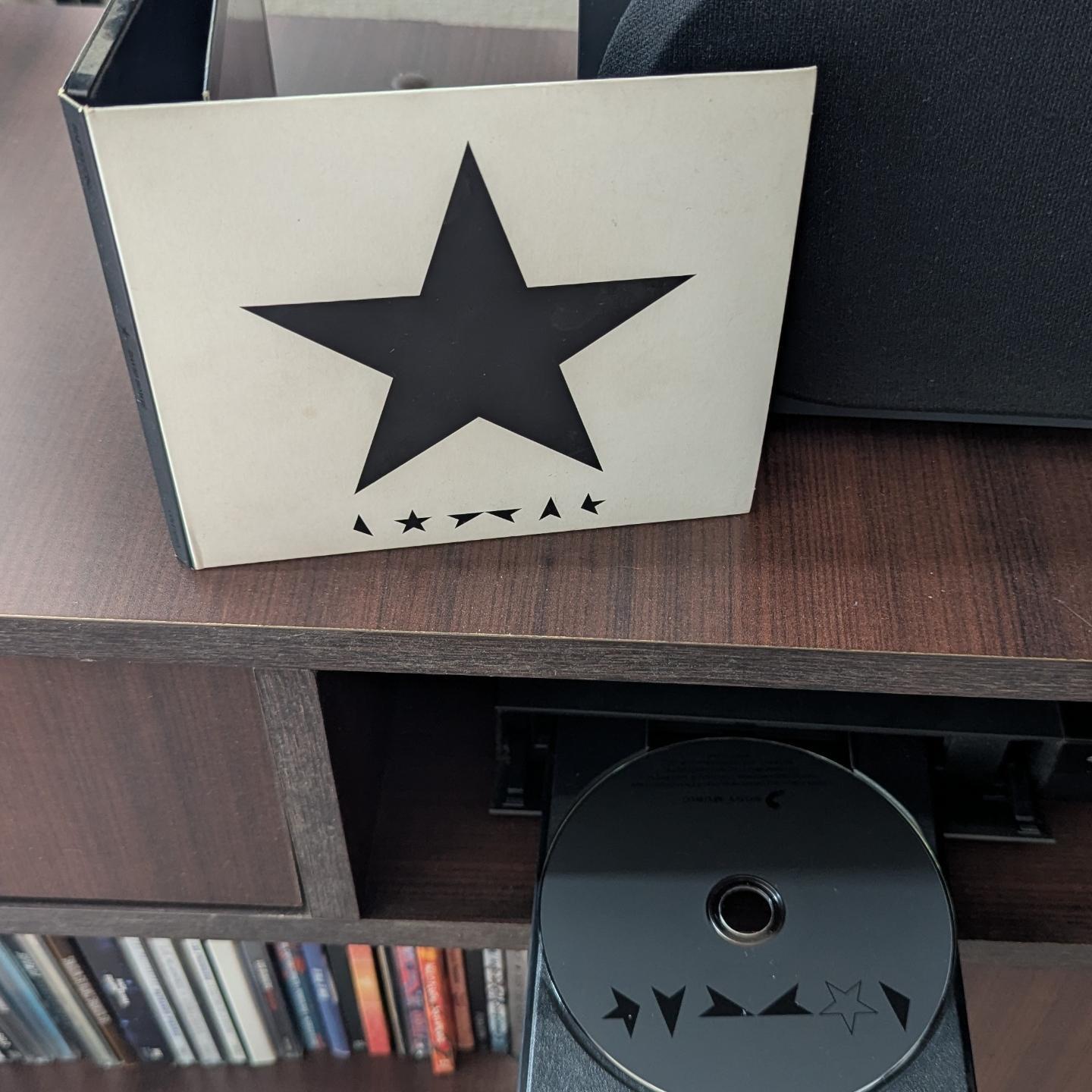
Y también un 8 de enero, pero de 2016, en su cumpleaños N°69, Bowie lanzó su último disco de estudio, Blackstar, dos días antes de su fallecimiento.
Buen momento para escucharlo una vez mšs.
#DavidBowie #Albumniversary #Rock