#FotoVorschlag 'Hitze'
I usually avoid hikes in the heat, but younger me wasn't so wise.
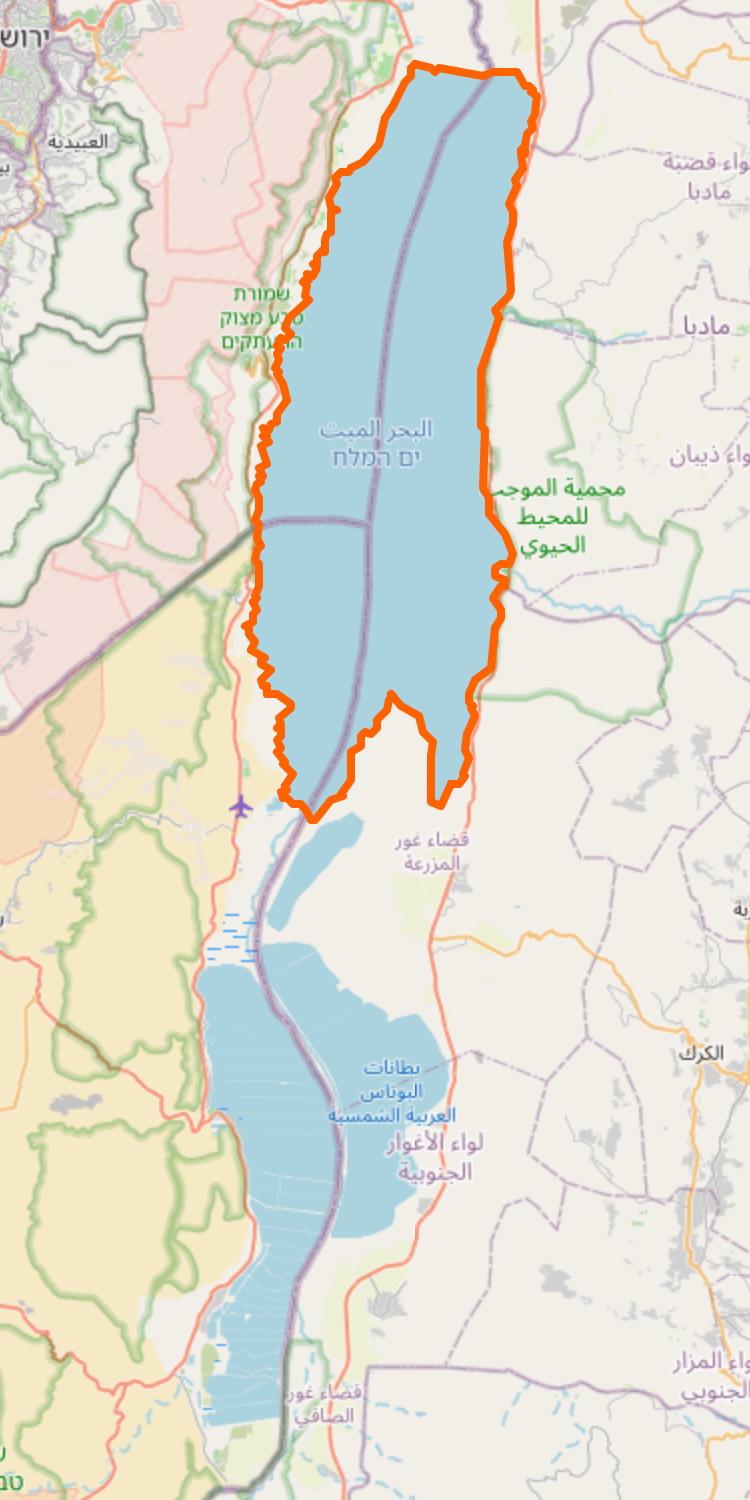
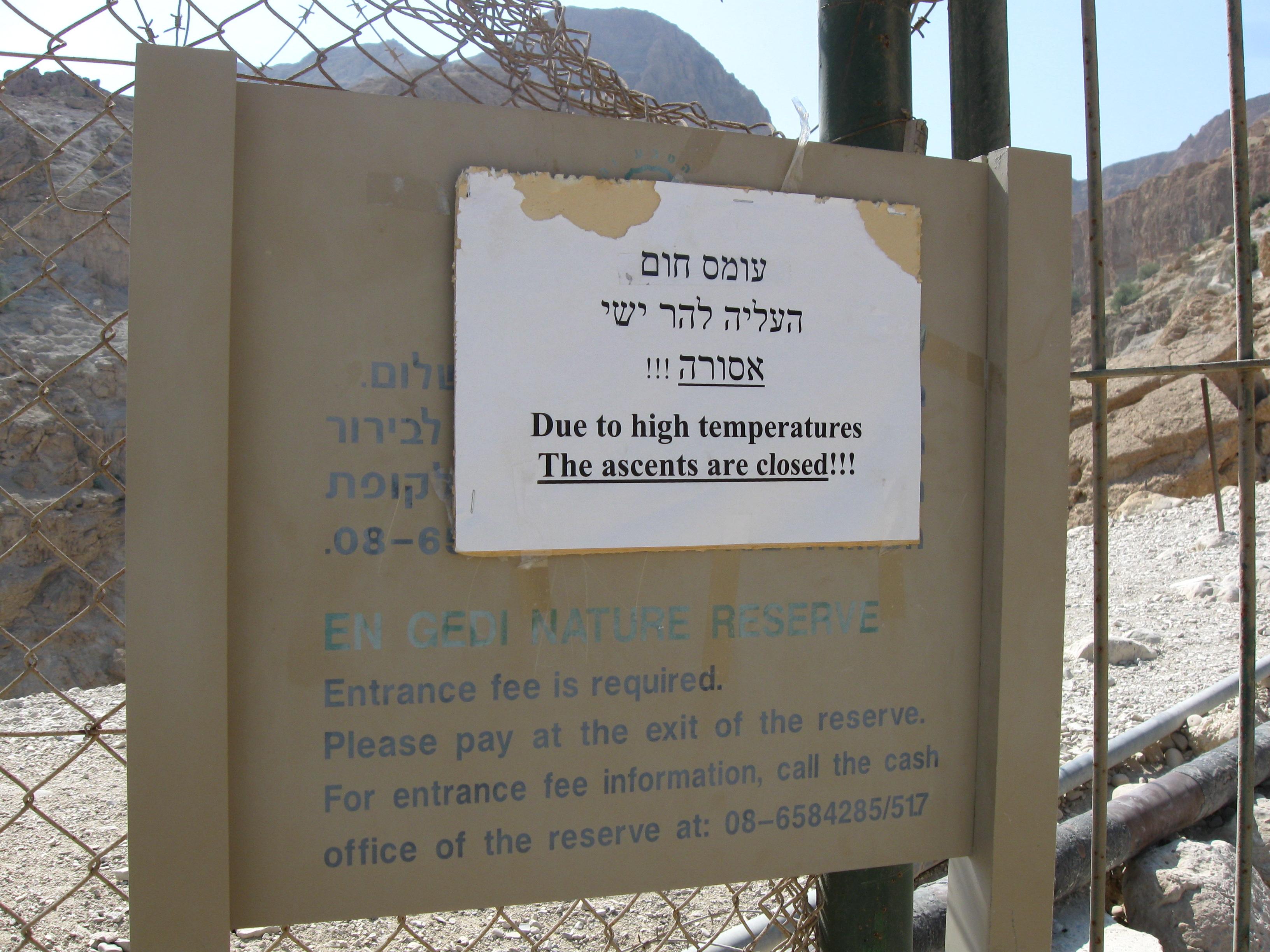
In 2011 I went up Mt Yishay from Ein Gedi on the Dead Sea. We walked it in reverse, so we only saw the sign when coming down. It was exceptionally hot, even for the region, and there was no water, no shrub and no tree for most of the hike. I had to hide in the shade of a rock crevice for 20min to not pass out 🙈
Also one of my only hikes from negative elevation (-380m − 160m and back).
A girl from the Netherlands who we met on the way insisted on joining us, although she was just wearing a bikini and flip-flops. I thought it was a little stupid, but in the end she did a lot better than me. Another lesson learned 😅
#Hiking #Israel #Palestine #Oasis #Desert #DeadSea
 @seav@en.osm.town