 @hikingdude@mastodon.social
2026-06-14 12:06:18
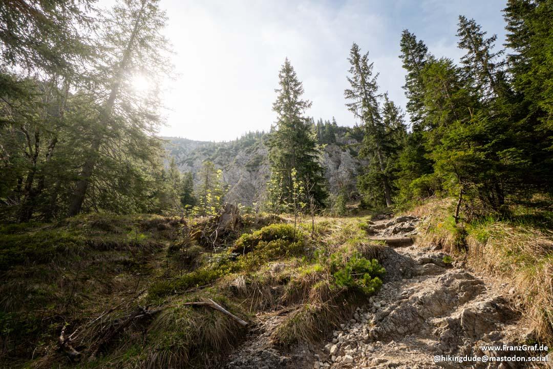
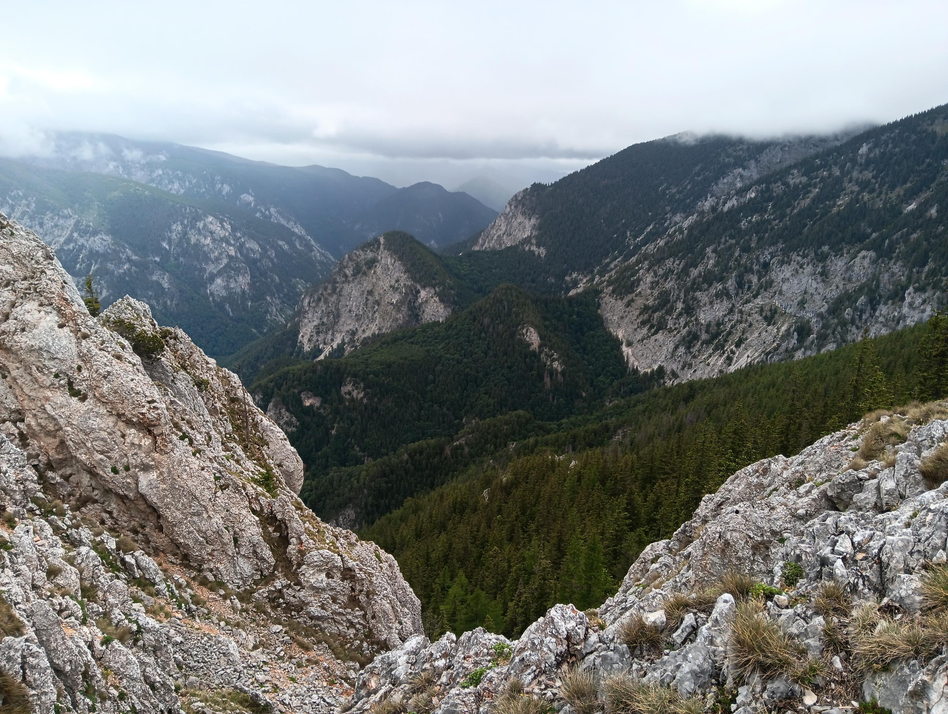
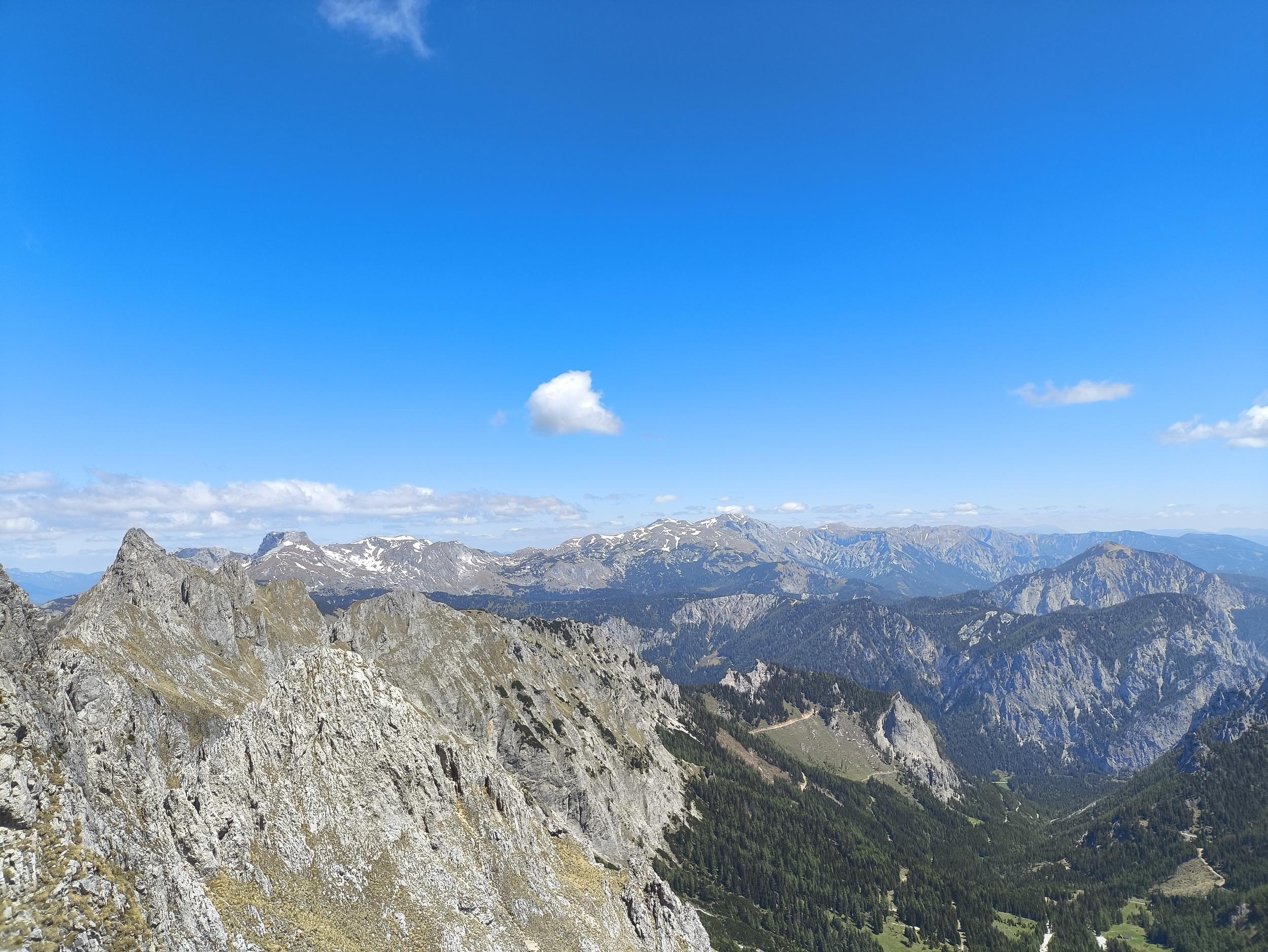
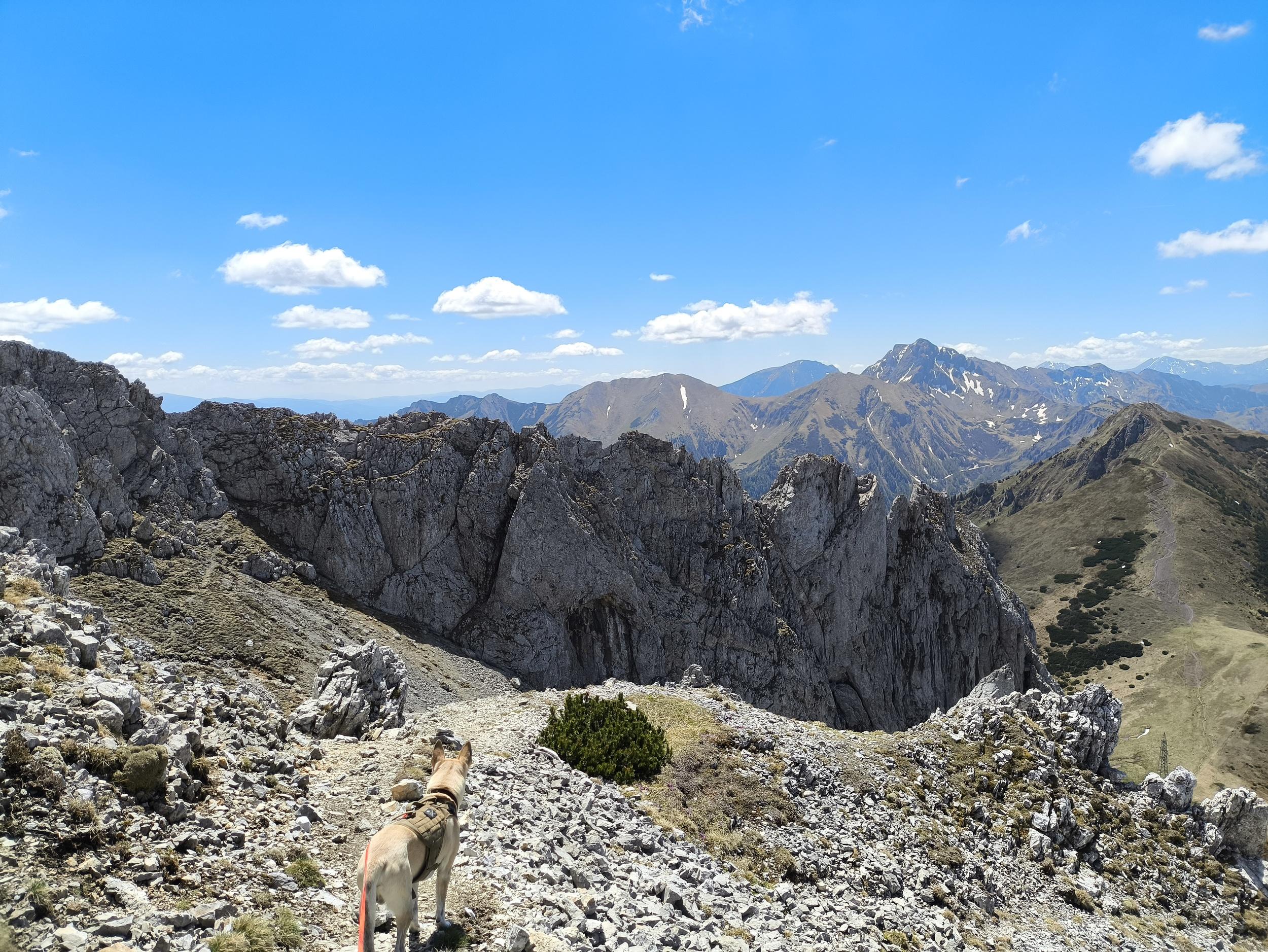
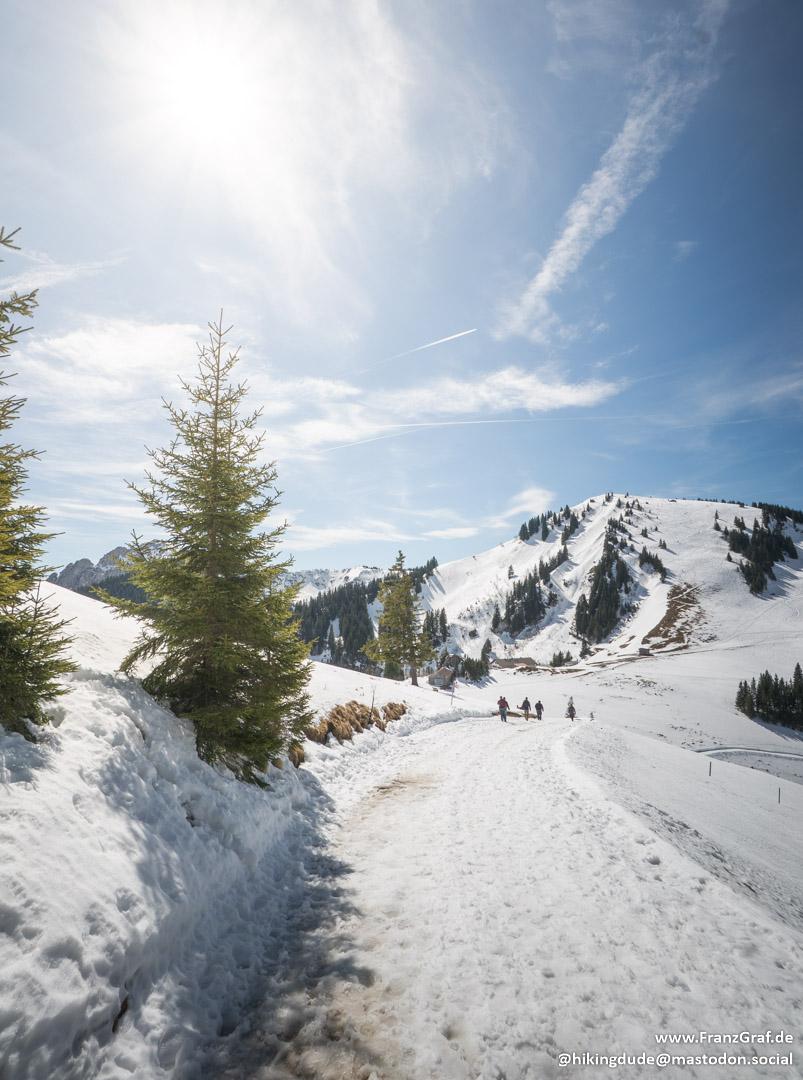
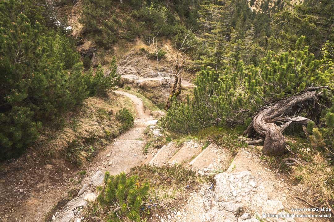
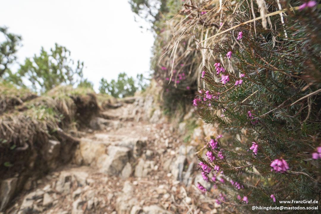
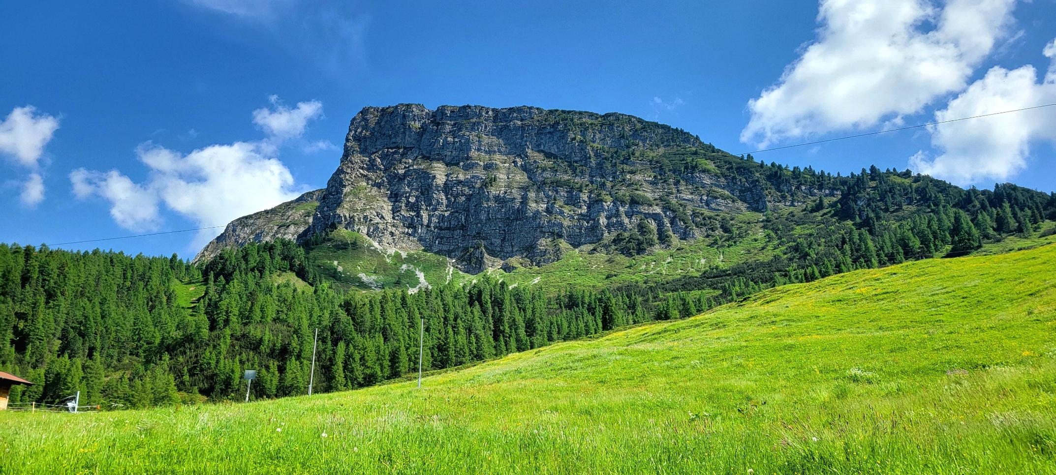
Last day of vacation! We just did a small walk to our local hill. The clouds in the south look pretty grey, while it looked nice in the north.
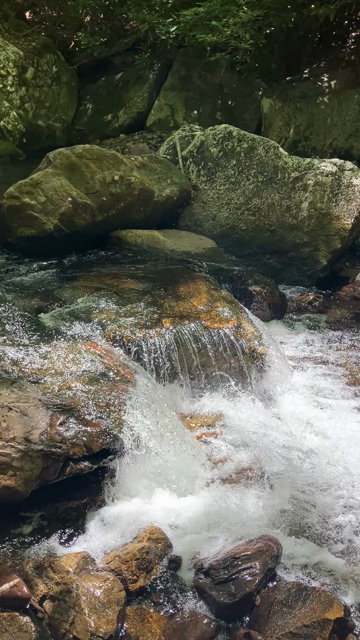
We have a relaxing day today, a real #silentsunday.
#hiking