 @seav@en.osm.town
2026-08-17 10:43:40
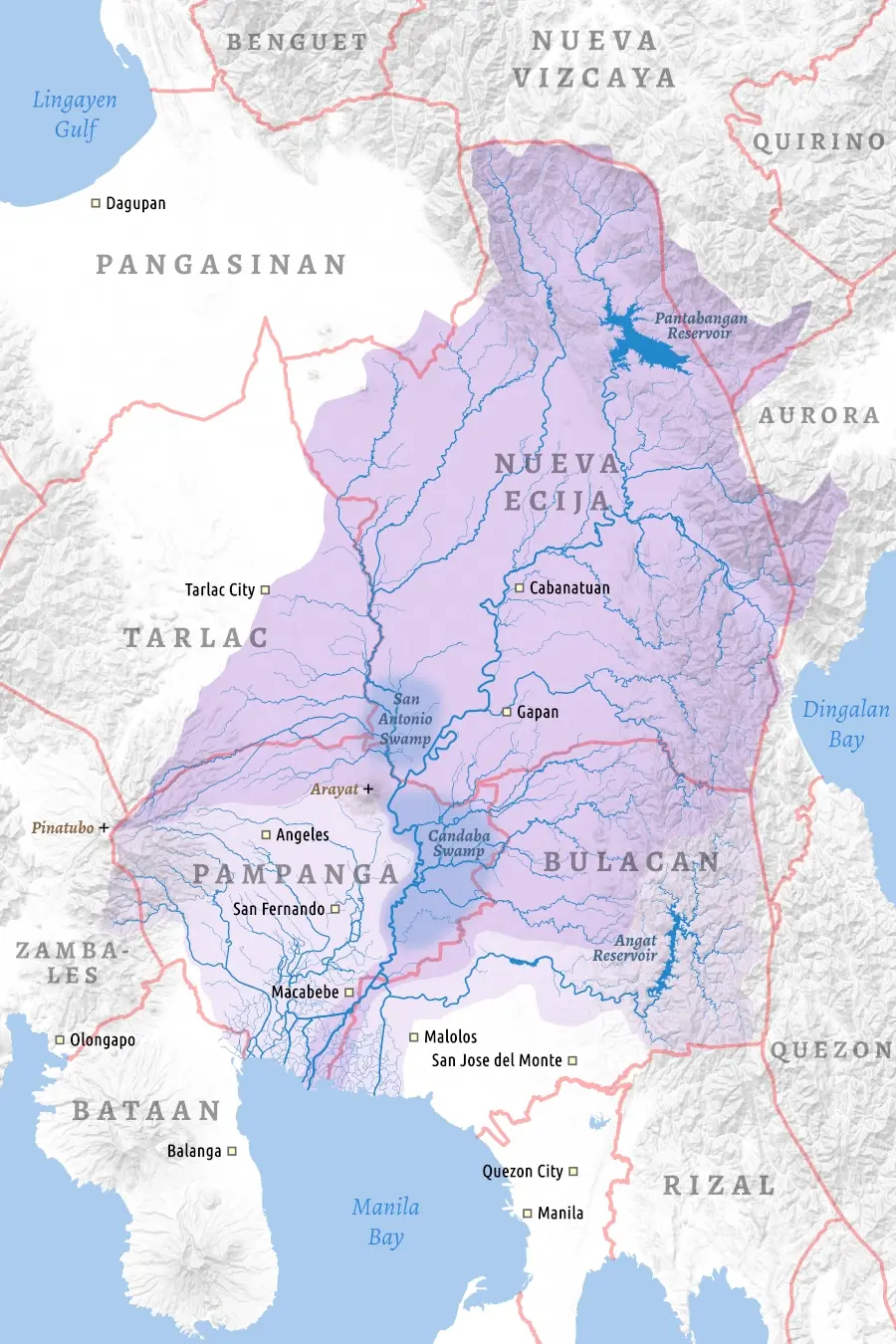
Finally got a final client approval for this commissioned map of the Pampanga River basin / watershed. 🥳
(Rivers, coastline, and borders are from #OpenStreetMap, licensed under the ODbL 1..0)
#maps #Mapstodon
 @seav@en.osm.town
Finally got a final client approval for this commissioned map of the Pampanga River basin / watershed. 🥳
(Rivers, coastline, and borders are from #OpenStreetMap, licensed under the ODbL 1..0)
#maps #Mapstodon
@seav@en.osm.townForget the latlon vs lonlat debate for a minute.
Another conflict is the winding order of coordinates for (multi)polygons. GeoJSON (RFC 7946) and Turf.js require counterclockwise outer rings and clockwise inner. Shapefiles, TopoJSON, and D3 geo expect the reverse.
Spent way too much time deep-diving into this. 😵💫
#maps
@seav@en.osm.townRE: #maps