 @underdarkGIS@fosstodon.org
2025-10-26 21:35:00
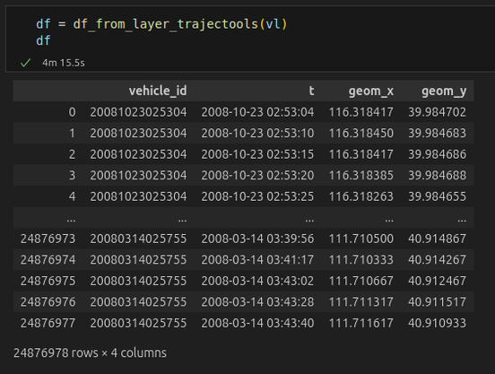
I'm looking for better ways to convert between #QGIS VectorLayers and #GeoPandas GeoDataFrames. #pyogrio and #arrow
@underdarkGIS@fosstodon.orgI'm looking for better ways to convert between #QGIS VectorLayers and #GeoPandas GeoDataFrames. #pyogrio and #arrow
 @kexpmusicbot@mastodonapp.uk
🇺🇦 #NowPlaying on KEXP's #Expansions
Geo Rip:
🎵 Lil Mist
#GeoRip
https://u-udios.bandcamp.com/track/lil-mist
https://open.spotify.com/track/32YXn3Zgm4NKIdkWpS0PHT