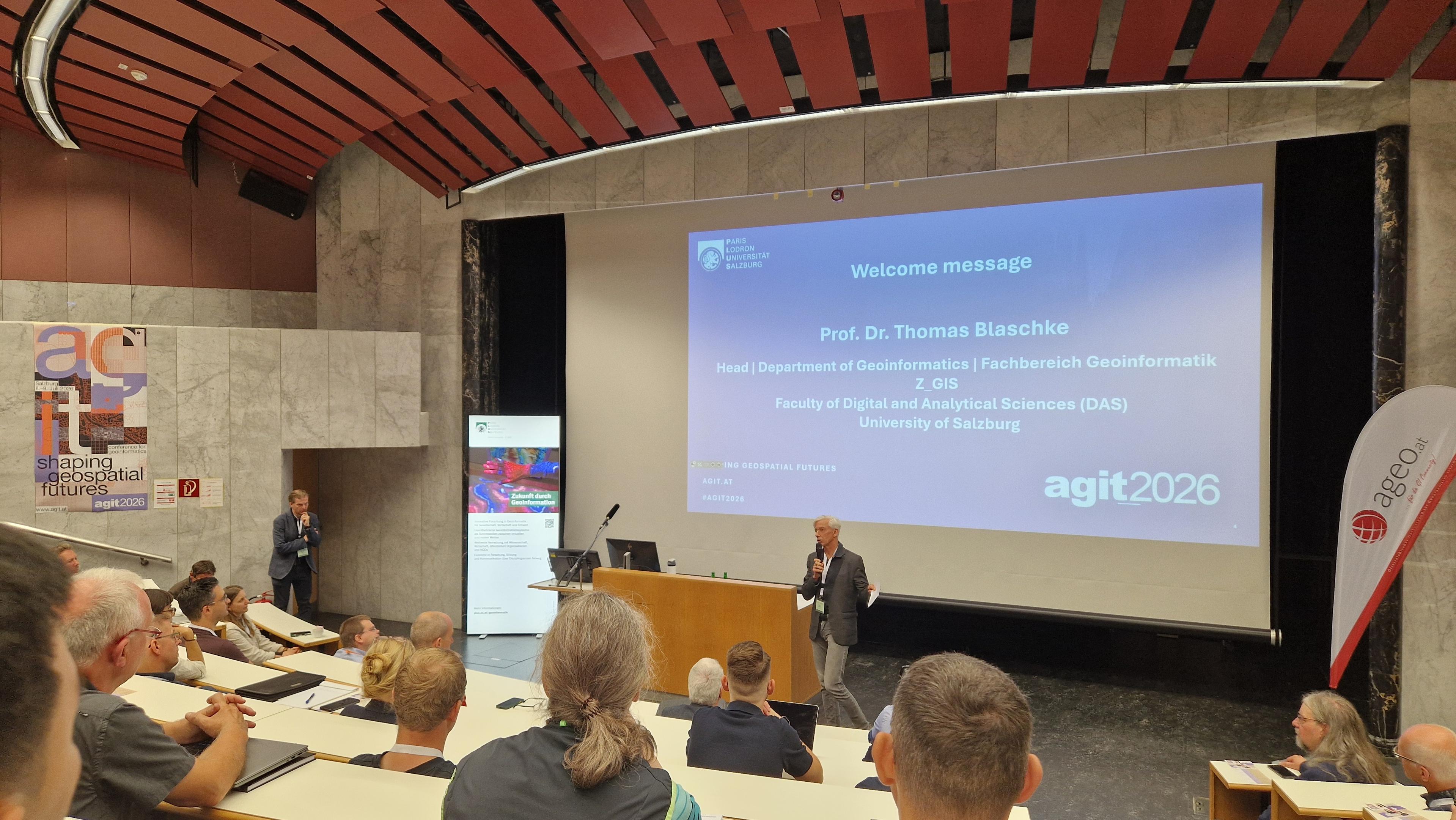
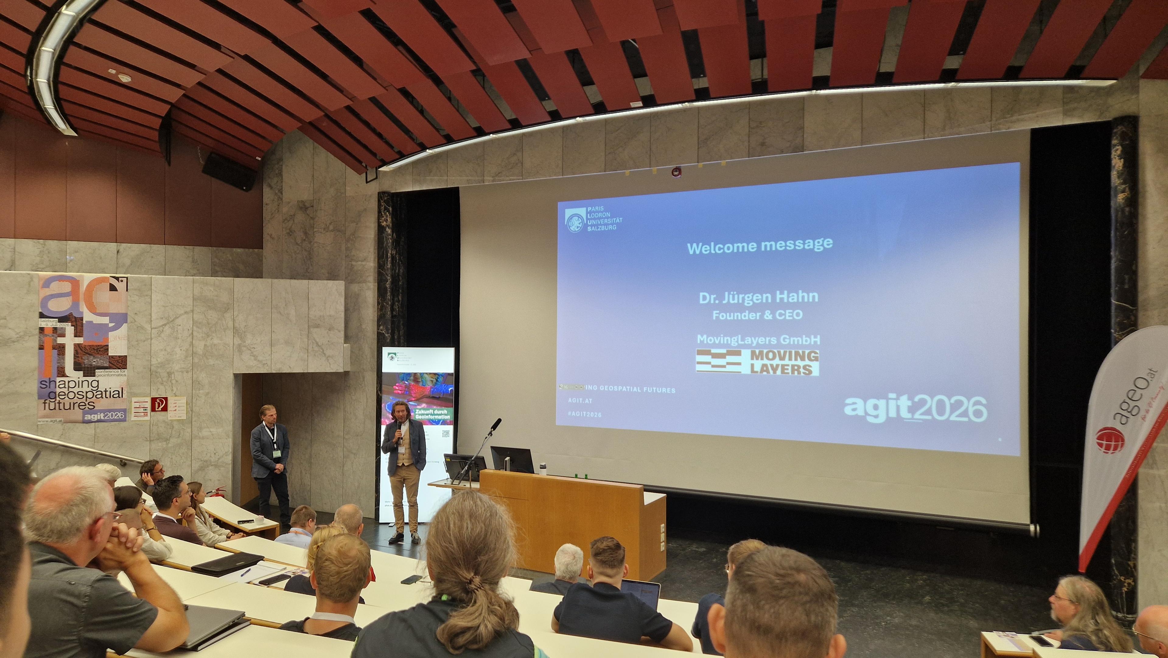
Official opening of #AGIT2026 is on. Always good to connect to the academic, industry, and gov geo crowd #GISChat #Salzburg
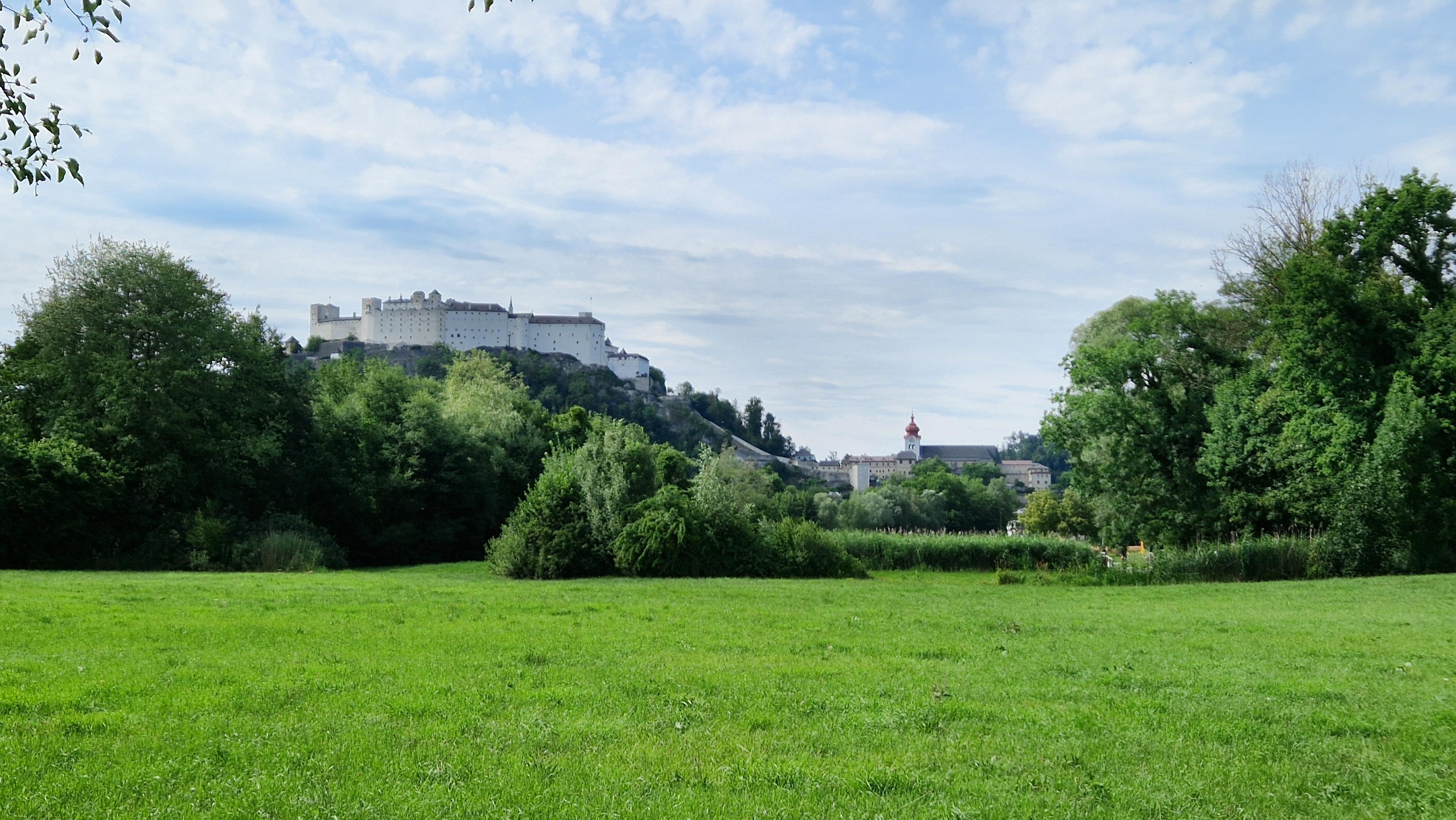
On my way to #AGIT2026, the traditional way to kick off the summer season for the spatially inclined #salzburg #gischat
#GISChat what's your experience with #OCG API? Is it the best thing since sliced bread 🍞 or was nobody waiting for it?
 @underdarkGIS@fosstodon.org @underdarkGIS@fosstodon.org @underdarkGIS@fosstodon.org
 @underdarkGIS@fosstodon.org