 @netzschleuder@social.skewed.de
2024-03-31 11:00:07
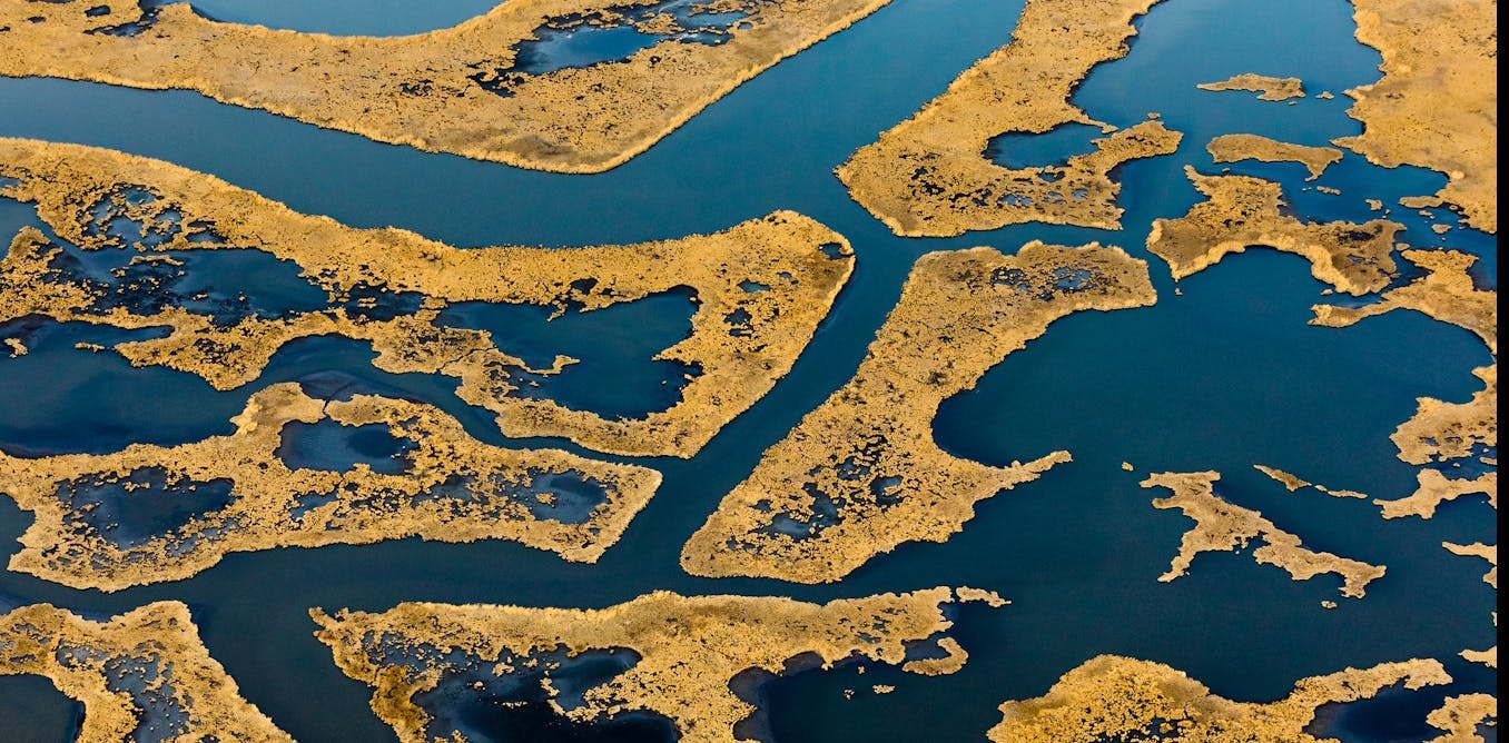
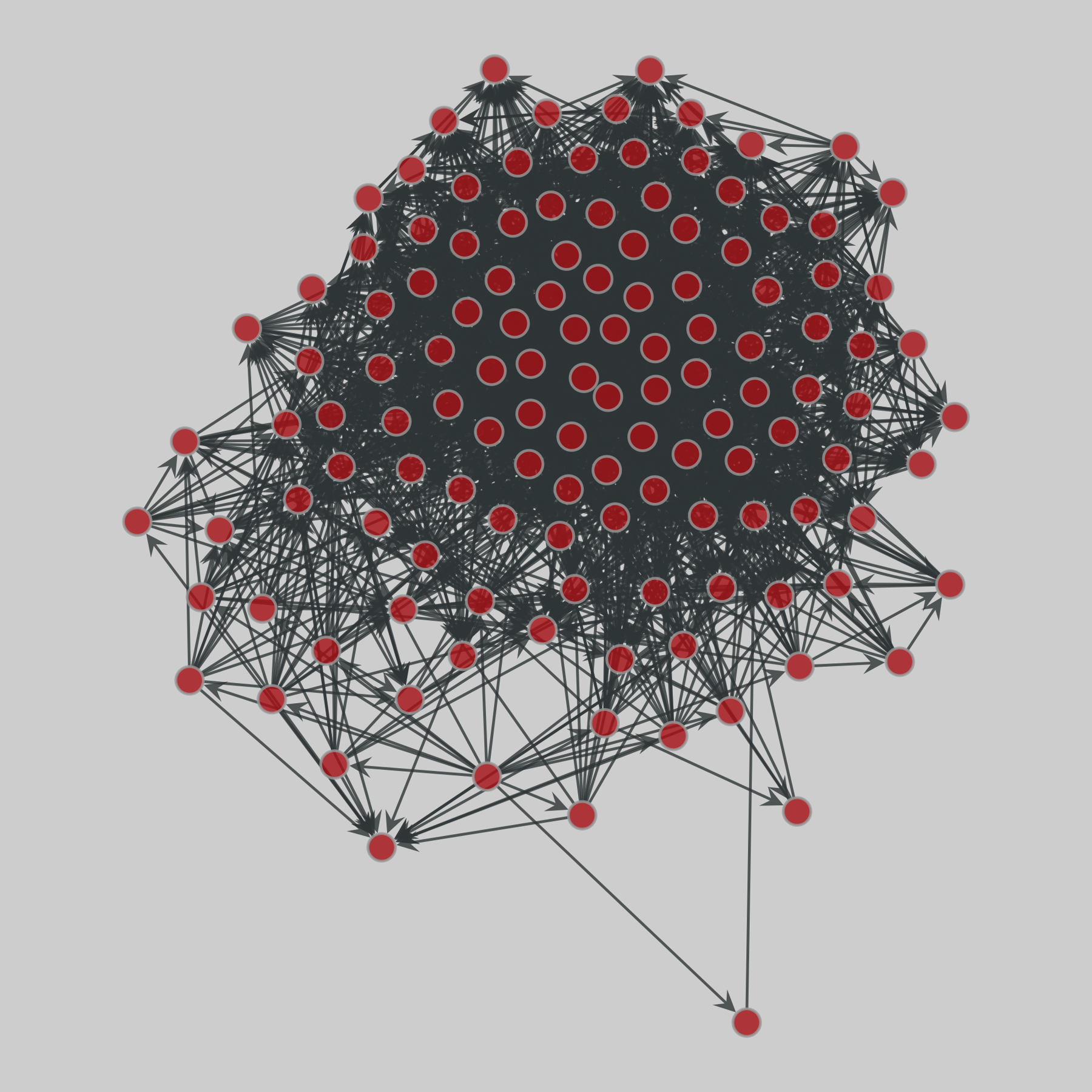
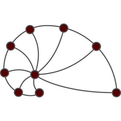
foodweb_baywet: Florida cypress wetlands food web (1998)
Networks of carbon exchanges among species in the cypress wetlands of South Florida. One network covers the wet and the other the dry season. Each node represents a taxon (similar to a species), and a directed edge indicates that one taxon uses another as food.
This network has 128 nodes and 2106 edges.
Tags: Biological, Food web, Weighted