@ncoca@social.coop
2026-06-11 01:09:04
@ncoca@social.coop @kexpmusicbot@mastodonapp.uk
🇺🇦 #NowPlaying on KEXP's #VarietyMix
Urban Dance Squad:
🎵 Deeper Shade of Soul
#UrbanDanceSquad
https://shannonclaygroove.bandcamp.com/track/urban-dance-squad-deeper-shade-of-soul-dj-allan-old-school-redrum-116-track-5
https://open.spotify.com/track/4KRMoo8vKWavy5f6dFpFmS
 @Speckdaene@nrw.social
Na ihr #Kartoffeln, ihr #Spießer? Lest mal unter diesem Geschenklink, was Markus Ertle von @… beim
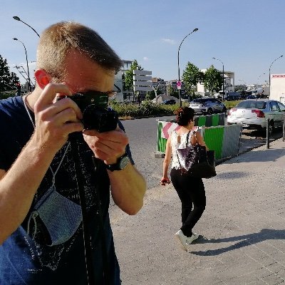 @a@paperbay.org
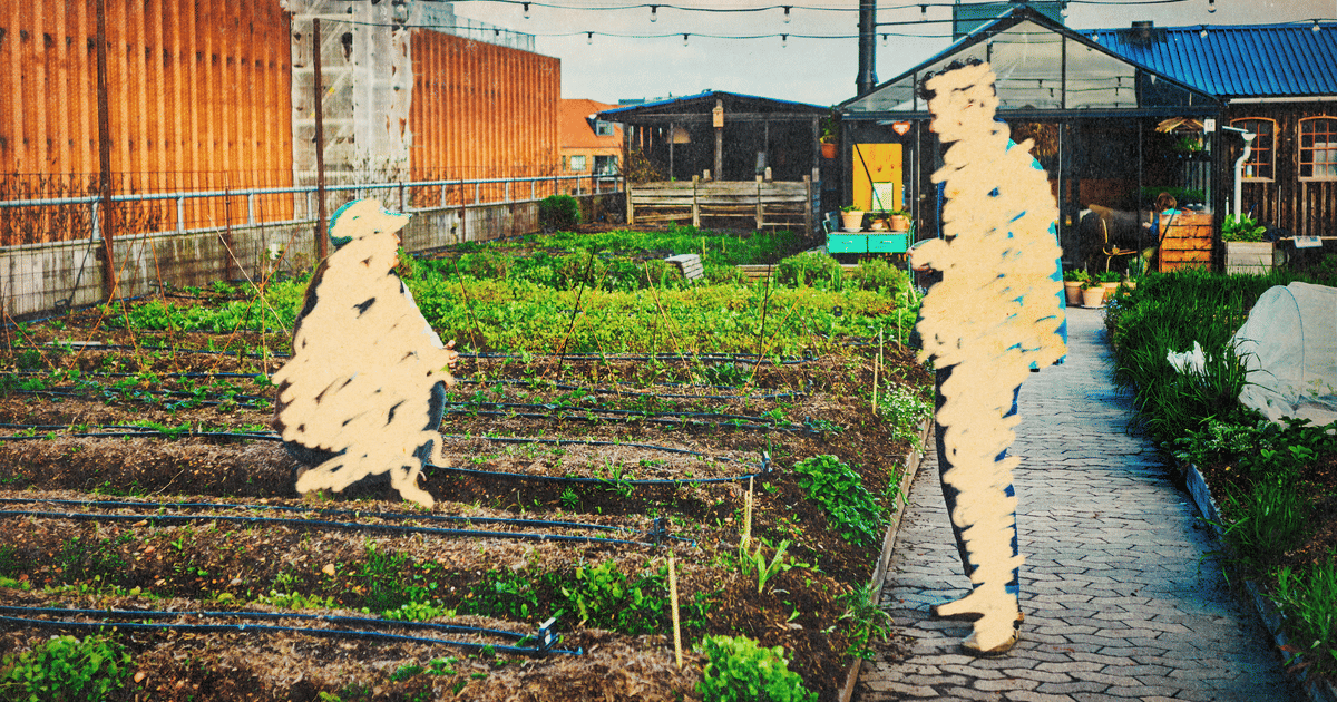
urban territory
#urban #photography #photo
 @ncoca@social.coop
 @cyrevolt@mastodon.social @kexpmusicbot@mastodonapp.uk
🇺🇦 #NowPlaying on KEXP's #AfternoonShow
Urban Dance Squad:
🎵 Deeper Shade of Soul
#UrbanDanceSquad
https://shannonclaygroove.bandcamp.com/track/urban-dance-squad-deeper-shade-of-soul-dj-allan-old-school-redrum-116-track-5
https://open.spotify.com/track/4KRMoo8vKWavy5f6dFpFmS
@cyrevolt@mastodon.social @kexpmusicbot@mastodonapp.uk🇺🇦 #NowPlaying on KEXP's #WoPop
Urban Village:
🎵 Izivungnvungu (Chloe remix)
#UrbanVillage
https://urbanvillagesoweto.bandcamp.com/track/izivunguvungu
https://open.spotify.com/track/2jCLfMADVS4jAFCKeGV4vk
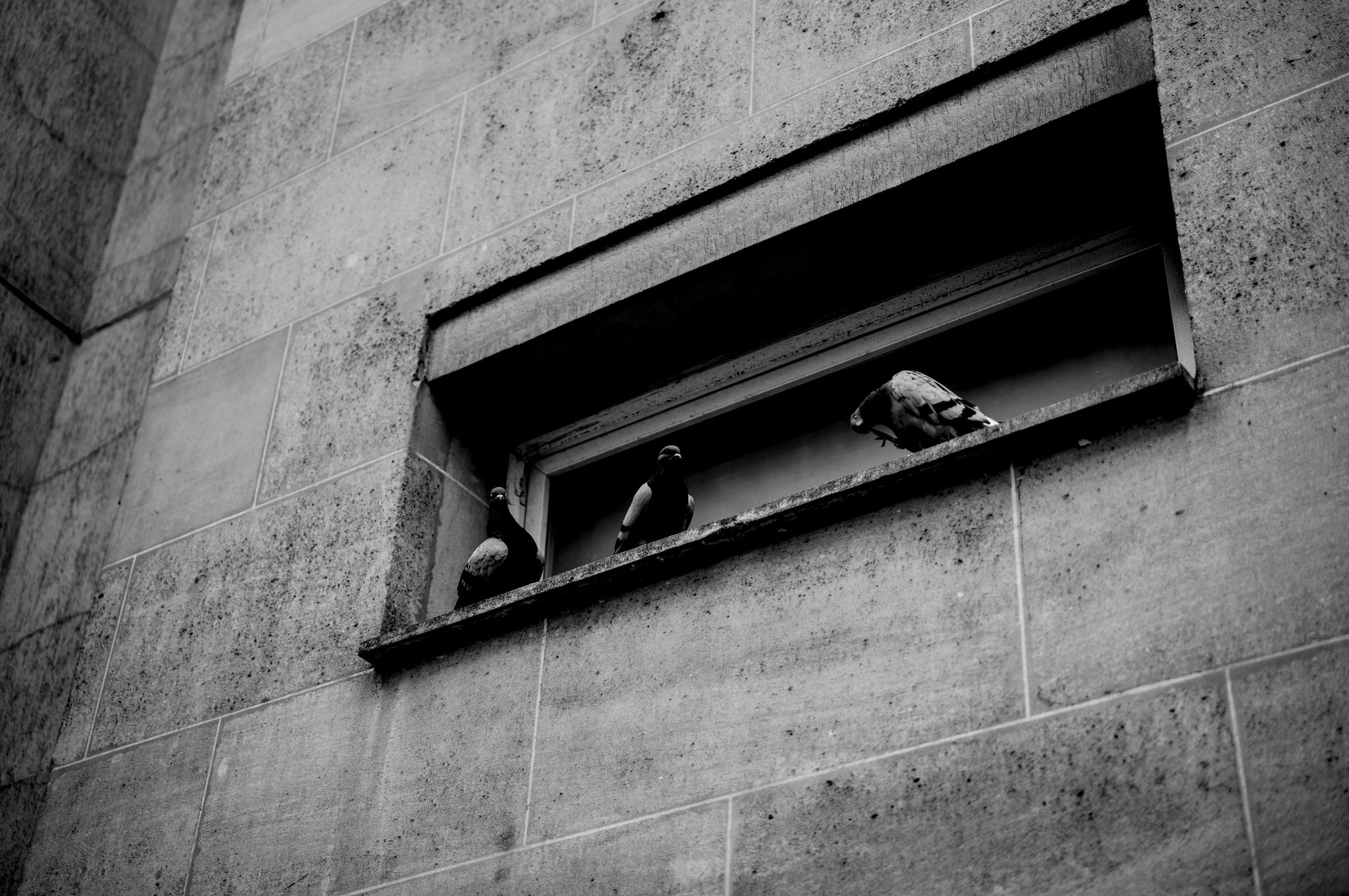
 @AnnaKukka@wien.rocks
ruggine
#photography #urban #rust
 @kexpmusicbot@mastodonapp.uk
🇺🇦 #NowPlaying on KEXP's #MorningShow
Urban Dance Squad:
🎵 No Kid
#UrbanDanceSquad
https://open.spotify.com/track/3vRNVZiwYY0hxcTQpjQYiZ
@AnnaKukka@wien.rocksazzurro
#photography #urban #graffiti
 @kexpmusicbot@mastodonapp.uk
🇺🇦 #NowPlaying on KEXP's #PositiveVibrations
Quan-Dajai x Urban Villah:
🎵 Waiting For
#QuanDajai #UrbanVillah
#newRelease 🆕 single
https://open.spotify.com/track/1heRTOAE56TWduL0h0bfVq
@AnnaKukka@wien.rocksverlorene Blätter
#photography #geometry #urban