 @krone@frawas.de
2026-07-22 00:23:43
Nach WM-Finalpleite - Lionel Messis Ehefrau teilt emotionale Botschaft #News #Nachrichten
 @Don_kun@nerdculture.de
2026-09-19 12:46:04
Am Nachmittag hat Kenny erzählt, wie man ein Wiki killt.
Die grönländische Wikipedia, in der er der einzige Aktive war, hatte keine Community und kein Interesse von Grönländischsprechenden, sich zu beteiligen. Daher gab es nur Beiträge in automatischen Übersetzungen, KI und Spam. Letztlich gab es die Befürchtung, dass ein wachsender Corpus von falschem Grönländisch auch die echte Sprache gefährdet. Schlueßlich wurde diese Wikipedia Ende letzten Jahres gelöscht.
 @hikingdude@mastodon.social
2026-06-27 09:25:15
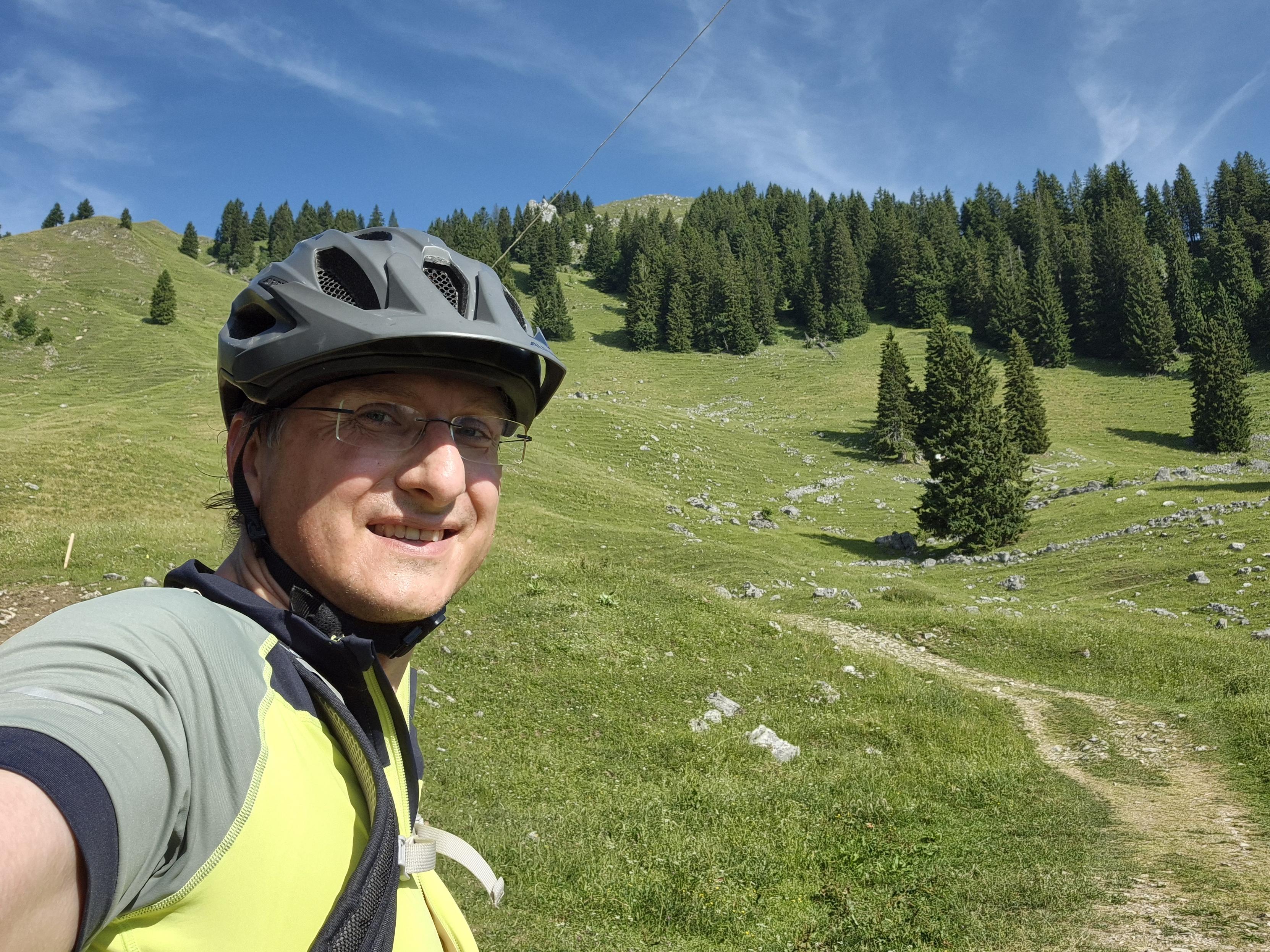
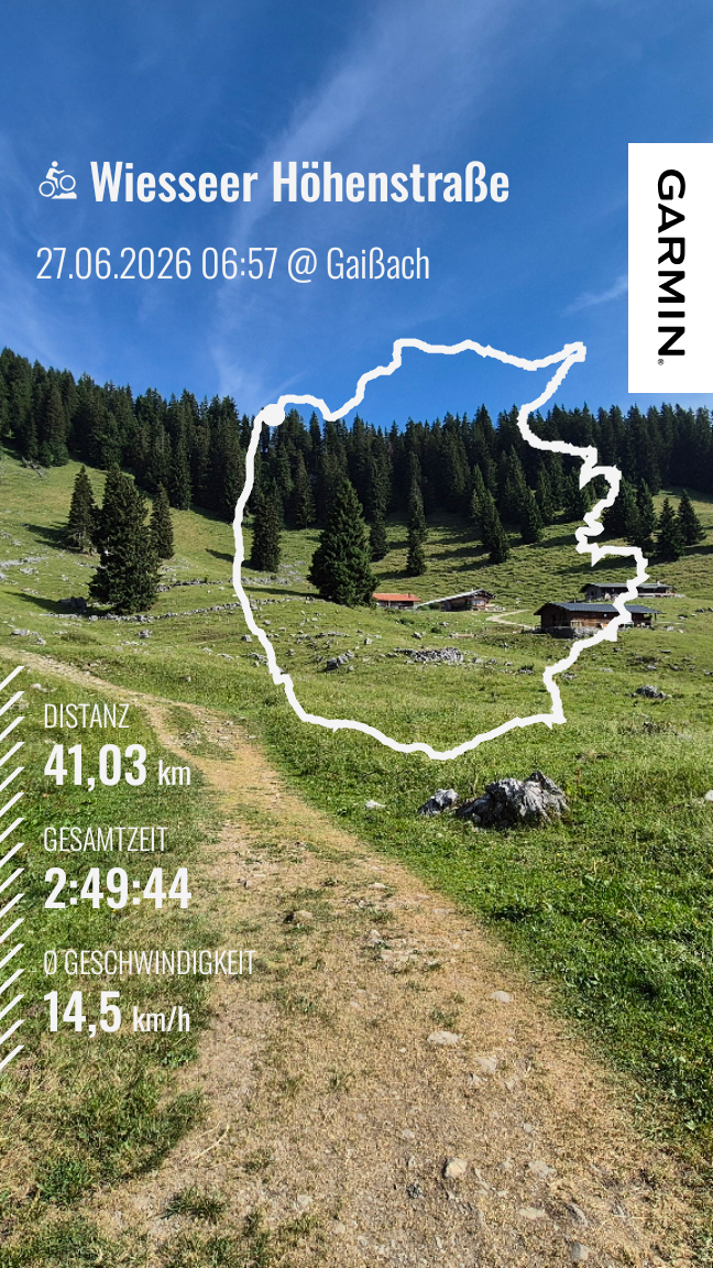
I set the alarm to 6am and we started at 7am. My wife cycled a small morning loop (like 45min) and I did a bit larger loop to test the 30 tooth Sprocket on longer climbs.
*Learnings today:*
- mosquitos can be a real motivator to push harder
- the sprocket feels good
- the #garmin incident detection works
- 1st aid kit is a good investment
- good medical coverage in …
 @CubitOom@social.linux.pizza
2026-08-03 18:23:51
Fascists slowly drive decoy car into activists at New York-Presbyterian Hospital (8/2/26)
Protestors try to block ICE vehicle at New York-Presbyterian hospital This vehicle was a decoy and a detainee who was brought to the hospital for treatment by ICE was dragged out of the hospital and thrown into a separate vehicle for transport. People tracking the ICE vehicle after its departure said they were headed “towards Jersey.”
Source:

 @arXiv_qfinTR_bot@mastoxiv.page
2026-07-16 07:57:14
Detecting unusual trading patterns on cryptocurrency exchanges by means of complexity measures
Jakub Zwydak, Marcin W\k{a}torek, Jaros{\l}aw Kwapie\'n, Stanis{\l}aw Dro\.zd\.z
https://arxiv.org/abs/2607.13916 https://arxiv.org/pdf/2607.13916 https://arxiv.org/html/2607.13916
arXiv:2607.13916v1 Announce Type: new
Abstract: Artificial transaction generation remains an important source of potential market manipulation on cryptocurrency exchanges, as it may distort reported liquidity and reduce market transparency. This study proposes a diagnostic framework for detecting unusual trading patterns based on complexity and statistical-structure measures derived from high-frequency trade-level data. The analysis considers log-returns, trading volume, and transaction counts, using tail distributions, autocorrelation functions, multifractal characteristics, approximate entropy, and detrended cross-correlations. The methodology is applied to BTC, ETH, and XRP traded on Binance, Bitget, KuCoin, and Kraken over the period from April 1 to June 30, 2025. The results reveal a pronounced anomaly on Bitget for BTC and ETH after mid-May 2025. The number of transactions increases sharply, but there is no proportional increase in traded volume or return fluctuations. This regime is characterised by numerous low-volume trades, weaker autocorrelations, reduced multifractal organisation, higher short-pattern irregularity, and weaker cross-correlations involving the transaction-count series. These features are consistent with a noise-like component in trading activity and may indicate artificially increased transaction counts, although they do not provide direct proof of wash trading. The findings show that complexity-based indicators can be useful for detecting exchange-specific trading anomalies that remain hidden in price-based measures.
toXiv_bot_toot
 @memeorandum@universeodon.com
2026-08-26 21:35:48
Pro-life group offers to pay legal fees for activists who defy New Jersey's new abortion law (Ryan King/New York Post)
https://nypost.com/2026/08/26/us-news/pro-life-group-offers-to-pay-legal-fees-for-activists-who-defy-new-jerseys-new-abortion-law/
http://www.memeorandum.com/260826/p111#a260826p111
 @Ruhrnalist@mastodon.social
2026-09-05 22:33:36
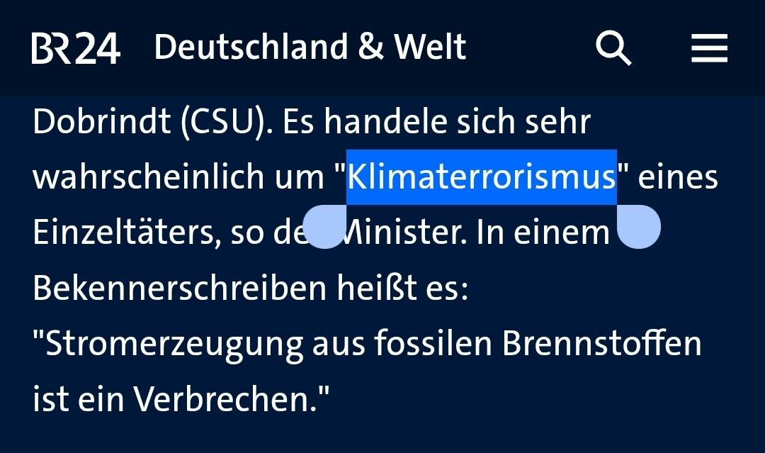
Das Framing "Klima-Extremismus" von Dobrindt verselbständigt sich jetzt. Zahlreiche Medien eskalieren jetzt zum Klimaterrorismus.
Der Begriff "Klimaterroristen" wurde noch 2022 zum Unwort des Jahres gekürt. Die Aktivisten würden damit "kriminalisiert und diffamiert".