 @primonatura@mstdn.social
2026-01-09 18:00:02
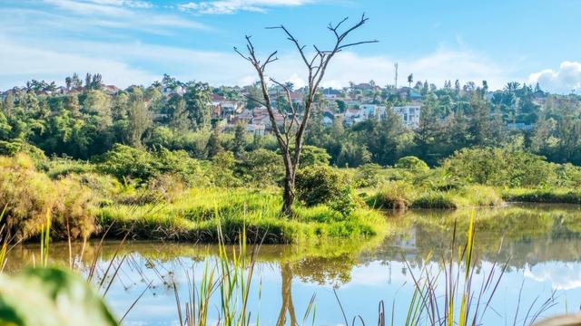
"Plagued by Flooding, an African City Reengineers Its Wetlands"
#Africa #Wetlands #Environment
@primonatura@mstdn.social"Plagued by Flooding, an African City Reengineers Its Wetlands"
#Africa #Wetlands #Environment
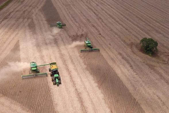
@primonatura@mstdn.social"Grasslands and Wetlands Are Being Gobbled Up By Agriculture, Mostly Livestock"
#Agriculture #Wetlands #Environment
 @shacker@zirk.us