Tootfinder

Opt-in global Mastodon full text search. Join the index!

No exact results. Similar results found.
@tiotasram@kolektiva.social
2025-07-04 20:14:31

Long; central Massachusetts colonial history
Today on a whim I visited a site in Massachusetts marked as "Huguenot Fort Ruins" on OpenStreetMaps. I drove out with my 4-year-old through increasingly rural central Massachusetts forests & fields to end up on a narrow street near the top of a hill beside a small field. The neighboring houses had huge lawns, some with tractors.
Appropriately for this day and this moment in history, the history of the site turns out to be a microcosm of America. Across the field beyond a cross-shaped stone memorial stood an info board with a few diagrams and some text. The text of the main sign (including typos/misspellings) read:
"""
Town Is Formed
Early in the 1680's, interest began to generate to develop a town in the area west of Natick in the south central part of the Commonwealth that would be suitable for a settlement. A Mr. Hugh Campbell, a Scotch merchant of Boston petitioned the court for land for a colony. At about the same time, Joseph Dudley and William Stoughton also were desirous of obtaining land for a settlement. A claim was made for all lands west of the Blackstone River to the southern land of Massachusetts to a point northerly of the Springfield Road then running southwesterly until it joined the southern line of Massachusetts.
Associated with Dudley and Stoughton was Robert Thompson of London, England, Dr. Daniel Cox and John Blackwell, both of London and Thomas Freak of Hannington, Wiltshire, as proprietors. A stipulation in the acquisition of this land being that within four years thirty families and an orthodox minister settle in the area. An extension of this stipulation was granted at the end of the four years when no group large enough seemed to be willing to take up the opportunity.
In 1686, Robert Thompson met Gabriel Bernor and learned that he was seeking an area where his countrymen, who had fled their native France because of the Edict of Nantes, were desirous of a place to live. Their main concern was to settle in a place that would allow them freedom of worship. New Oxford, as it was the so-named, at that time included the larger part of Charlton, one-fourth of Auburn, one-fifth of Dudley and several square miles of the northeast portion of Southbridge as well as the easterly ares now known as Webster.
Joseph Dudley's assessment that the area was capable of a good settlement probably was based on the idea of the meadows already established along with the plains, ponds, brooks and rivers. Meadows were a necessity as they provided hay for animal feed and other uses by the settlers. The French River tributary books and streams provided a good source for fishing and hunting. There were open areas on the plains as customarily in November of each year, the Indians burnt over areas to keep them free of underwood and brush. It appeared then that this area was ready for settling.
The first seventy-five years of the settling of the Town of Oxford originally known as Manchaug, embraced three different cultures. The Indians were known to be here about 1656 when the Missionary, John Eliott and his partner Daniel Gookin visited in the praying towns. Thirty years later, in 1686, the Huguenots walked here from Boston under the guidance of their leader Isaac Bertrand DuTuffeau. The Huguenot's that arrived were not peasants, but were acknowledged to be the best Agriculturist, Wine Growers, Merchant's, and Manufacter's in France. There were 30 families consisting of 52 people. At the time of their first departure (10 years), due to Indian insurrection, there were 80 people in the group, and near their Meetinghouse/Church was a Cemetery that held 20 bodies. In 1699, 8 to 10 familie's made a second attempt to re-settle, failing after only four years, with the village being completely abandoned in 1704.
The English colonist made their way here in 1713 and established what has become a permanent settlement.
"""
All that was left of the fort was a crumbling stone wall that would have been the base of a higher wooden wall according to a picture of a model (I didn't think to get a shot of that myself). Only trees and brush remain where the multi-story main wooden building was.
This story has so many echoes in the present:
- The rich colonialists from Boston & London agree to settle the land, buying/taking land "rights" from the colonial British court that claimed jurisdiction without actually having control of the land. Whether the sponsors ever actually visited the land themselves I don't know. They surely profited somehow, whether from selling on the land rights later or collecting taxes/rent or whatever, by they needed poor laborers to actually do the work of developing the land (& driving out the original inhabitants, who had no say in the machinations of the Boston court).
- The land deal was on condition that there capital-holders who stood to profit would find settlers to actually do the work of colonizing. The British crown wanted more territory to be controlled in practice not just in theory, but they weren't going to be the ones to do the hard work.
- The capital-holders actually failed to find enough poor suckers to do their dirty work for 4 years, until the Huguenots, fleeing religious persecution in France, were desperate enough to accept their terms.
- Of course, the land was only so ripe for settlement because of careful tending over centuries by the natives who were eventually driven off, and whose land management practices are abandoned today. Given the mention of praying towns (& dates), this was after King Phillip's war, which resulted in at least some forced resettlement of native tribes around the area, but the descendants of those "Indians" mentioned in this sign are still around. For example, this is the site of one local band of Nipmuck, whose namesake lake is about 5 miles south of the fort site: #LandBack.

@leftsidestory@mstdn.social
2025-06-18 00:30:08

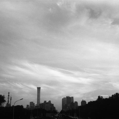
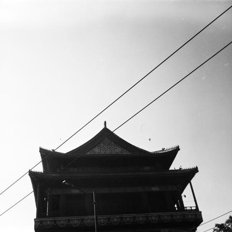
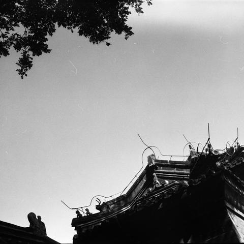
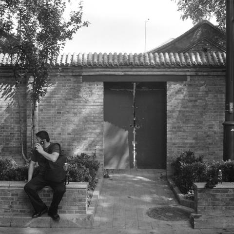
Urban Living II 🌝
都市生活 II 🌝
📷 Nikon FE
🎞️Lucky SHD 400
buy me ☕️ ?/请我喝杯☕️?
#filmphotography

**English:**
This black-and-white photograph shows a modern urban scene with a sheltered area for scooters and bicycles. The shelter has a flat roof supported by uniquely shaped pillars. Several scooters are parked under the shelter, and a person is seen riding a bicycle on the adjacent path. The background features trees and a few pedestrians, suggesting a park or recreational area. The image captures a moment of everyday life in a city setting.

**Chinese:**
这张黑白照片展示了一个现代城市场景,其中有一个为摩托车和自行车提供的…
**English:**
This black-and-white photograph captures an industrial scene featuring a bridge-like structure elevated on pillars. The structure extends horizontally across the image, leading the eye towards two tall smokestacks in the background. The smokestacks are part of an industrial facility, hinting at a factory or plant. The foreground is filled with dense foliage, providing a stark contrast to the industrial elements. The sky is clear, adding to the sharpness and contrast of the image.

…
**English:**
This black-and-white image depicts a covered walkway or corridor with a series of evenly spaced columns supporting the roof. The perspective is from one end of the walkway, looking towards the other end where a few people can be seen walking. The walkway is paved and flanked by greenery on both sides, creating a serene and orderly atmosphere. The light filters through the structure, casting shadows and highlighting the architectural details.

**Chinese:**
这张黑白图片描绘了一个有顶棚的走廊或通道,一系列均匀…
**English:**
This black-and-white image features a tree with sprawling branches in the foreground, partially obscuring the view. Behind the tree, there is a whimsical scene with two large panda sculptures, one of which appears to be sitting and holding a small object. The background includes a body of water and a large building, possibly indicating an urban park or a recreational area. The overall composition creates a playful and intriguing atmosphere.

**Chinese:**
这张黑白图片的前景是一棵枝叶繁茂的树,部分遮挡了视线。…