 @floheinstein@chaos.social
2025-12-24 10:32:36
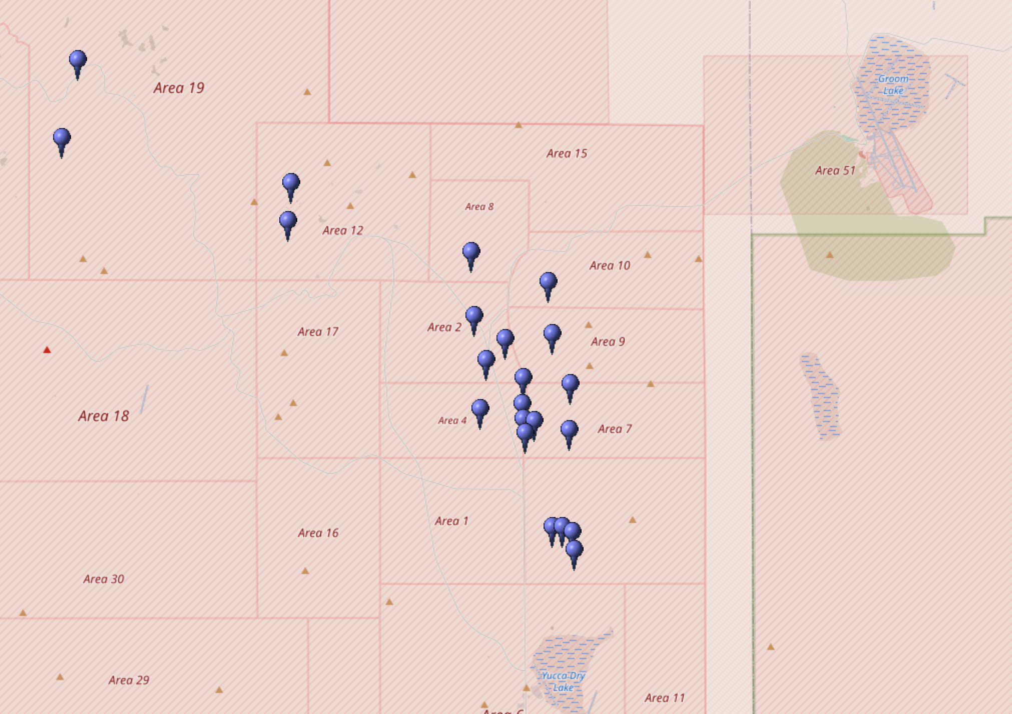
Ich habe grad etwas Schräges auf OpenStreetmap entdeckt: "Adliswilische Selbstständige Republik".
Ich seh sie nur bei einem gewissen Zoom und finde sie nicht bei der Suche
https://www.openstreetmap.org/#map=10/47.3094/8.5440
Weiss jemand was darüber?
…


![Krzywo postawiona tabliczka "Teren wojskowy [na czarno]. Wstęp wzbroniony [na czerwono]", na drewnianym słupku. Otaczają ją wysokie, żółte trawy. Z tyłu zielone krzewy i drzewa lasu.](https://pol.social/system/media_attachments/files/115/286/925/541/258/302/original/81966394f6f5995e.jpg)